Guyana
Georgetown's Plantation Structure
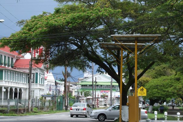
Georgetown's Plantation Structure and Historic Buildings comprises the townscape and 19th century colonial architecture of Historic Georgetown (then called Stabroek). Georgetown is laid out in a north–south, east–west grid, interlaced with canals protected by sluices, built by the Dutch and later the British that provide drainage to a city that lies below high-tide level. The former plantation grounds can still be seen in the urban lay-out and the positioning of the canals, of which the Cummings Canal and the canal on Croal Street remain.
Site Info
Official Information
- Full Name
- Georgetown's Plantation Structure and Historic Buildings (ID: 2008)
- Country
- Guyana
- Status
-
On tentative list 2005
Site history
History of Georgetown's Plantation Structure
- 2005: Added to Tentative List
- Added to tentative list
- Type
- Cultural
- Criteria
Links
- UNESCO
- whc.unesco.org
All Links
UNESCO.org
- whc.unesco.org — whc.unesco.org
Community Information
- Community Category
- Urban landscape: Colonial
Travel Information
No travel information
Recent Connections
No connections… yet. Propose a connection.
News
No news.
Community Reviews
No reviews yet. If you have visited, write one!

